Field Guide
How to fly a drone scan that reconstructs
Overlap, altitude, and flight patterns for clean geometry.

Turn a single flight into a photorealistic 3D environment your clients can explore, measure, and share.
One continuous flow, and it starts the moment you take off.
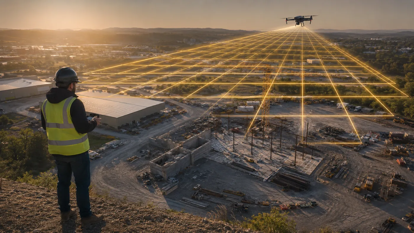
Everything downstream depends on how you fly. The right overlap, altitude, and control turn a routine flight into a capture that reconstructs beautifully.
Structure-from-Motion and Gaussian splatting turn your frames into a photorealistic, measurable model of the site.
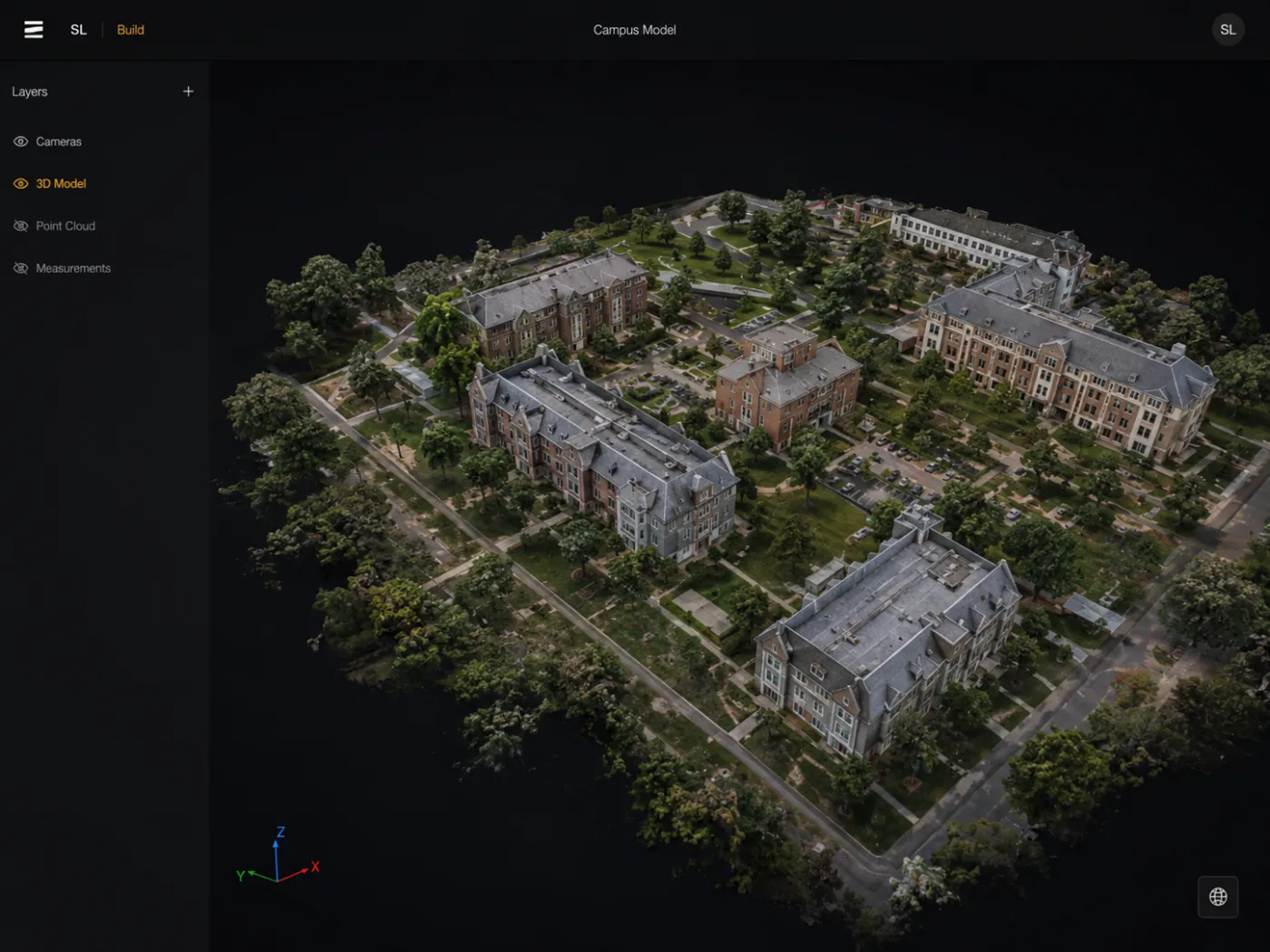
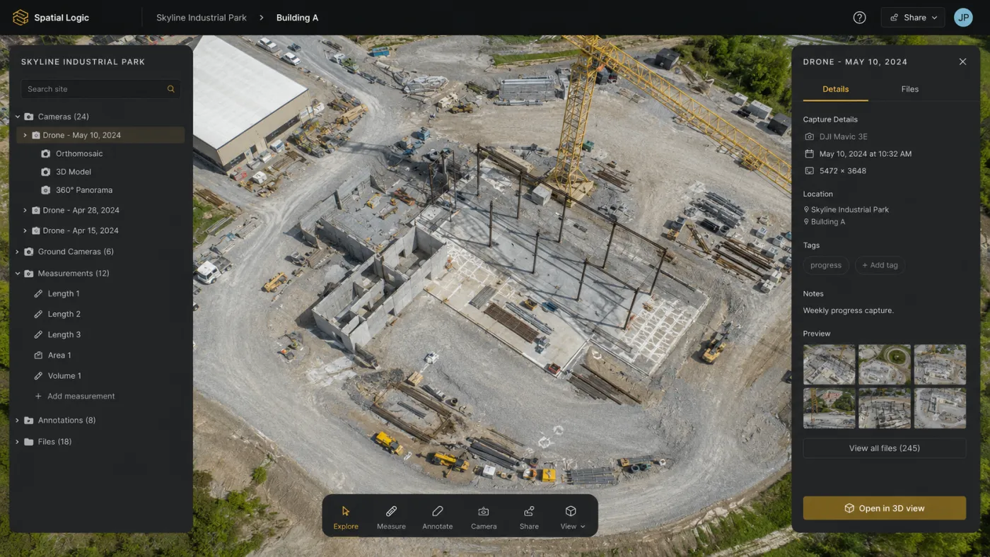
The finished model is searchable and measurable. Your clients find assets, pull measurements, and get answers without another site visit.
Share a link your client opens in the browser. They walk the site, mark it up, and bring their whole team in.
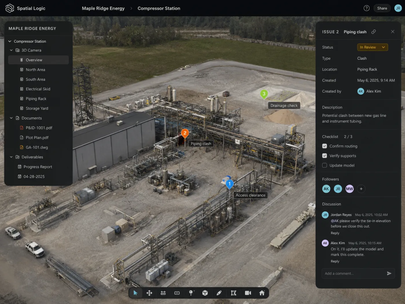
Overlap, altitude, and flight patterns for clean geometry.
When to walk a space instead of flying it, and how.
Centimeter accuracy, and how each method gets you there.
The representation behind photoreal, real-time 3D.
See how organizations put a living 3D model to work: inspect, document, understand, train, respond, and automate.
See how Spatial Logic works →Join the pilots and capture pros building shareable, photorealistic 3D on Spatial Logic.